Virginia and North Carolina Brace for Potential Record-Breaking Snowfall as Powerful Weekend Winter Storm Looms

VIRGINIA & NORTH CAROLINA – A powerful weekend winter storm is shaping up to deliver potentially record-breaking snowfall across large portions of Virginia and North Carolina, with forecasters warning that exact totals will depend heavily on the storm’s final track but impacts appear increasingly likely across the Mid-Atlantic and Southeast.
Meteorologists say confidence is growing that a significant winter system will develop late Saturday into Sunday, spreading snow across multiple states and placing several major population centers directly in its path. While the precise track remains uncertain, the overall setup strongly favors a high-impact snow event for parts of the region.
Snowfall Projections Show Heavy Bands Over Major Cities
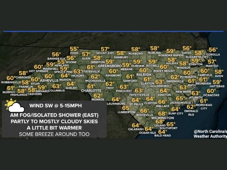
Forecast maps indicate a wide swath of accumulating snow stretching from the southern Appalachians through central North Carolina and into eastern Virginia. The highest snowfall totals are currently projected across areas including Raleigh, Richmond, Norfolk, Roanoke, Charlotte, and Washington, D.C.
Some models suggest 8 to 12 inches of snow could fall in parts of eastern North Carolina and southeastern Virginia, with isolated locations potentially exceeding those totals if the storm strengthens or slows. Surrounding areas may see 4 to 8 inches, while lighter but still impactful accumulations extend westward into Tennessee and northern Georgia.
If the storm’s track shifts even slightly, snowfall totals could increase dramatically in some cities while dropping sharply in others.
Why Confidence Is Rising — Even With Track Uncertainty
Forecasters note that while small-scale details remain unresolved, the larger atmospheric pattern is lining up in a way that strongly supports winter weather.
Cold air already in place across the region, combined with a developing coastal low-pressure system, creates ideal conditions for snow rather than rain. As the storm intensifies offshore, bands of heavy precipitation are expected to wrap inland, especially along the I-95 corridor.
“This is the kind of setup that can produce sharp snowfall gradients — meaning one city could see several inches more than a neighboring county.”
That uncertainty is exactly why meteorologists are emphasizing preparedness even as exact numbers continue to fluctuate.
Travel, Power, and Weekend Disruptions Likely
If forecast trends hold, this storm could significantly disrupt weekend travel across the Mid-Atlantic and Southeast. Snow-covered roads, reduced visibility, and rapidly changing conditions may make driving dangerous, particularly late Saturday night through Sunday.
Air travel disruptions are also possible at major hubs, especially around Washington, D.C., Raleigh-Durham, and Norfolk.
Power outages cannot be ruled out either, especially if snowfall becomes heavy and wet in coastal areas, placing stress on trees and power lines.
Emergency managers are urging residents to prepare now rather than waiting for last-minute warnings.
Social Media Buzz Builds as Residents Brace for Impact
Across social media, residents are already reacting to the possibility of a major snow event.
One user on X wrote, “If Raleigh really gets double-digit snow totals, this could shut the city down for days.”
Another Reddit commenter added, “Virginia hasn’t seen a storm like this in years — people are definitely underestimating it.”
Weather-focused TikTok accounts are also gaining traction as creators analyze snowfall maps, warning viewers not to focus on exact numbers but on the potential for widespread disruption.
What Happens Next
Forecasters say the next 24 to 48 hours will be critical in narrowing down snowfall totals and pinpointing which cities land in the heaviest bands. Updated guidance could still shift the storm east or west, changing who sees the worst impacts.
For now, officials recommend stocking essentials, avoiding unnecessary travel during the storm window, and closely monitoring local forecasts.
This has the potential to be one of the most impactful winter storms of the season for the Mid-Atlantic and Southeast — and possibly a record-setter for parts of Virginia and North Carolina.
What do you think — are we looking at a historic snowstorm, or will the track shift at the last minute? Share your thoughts and join the conversation at FatCityFeed.com.