
Stockton, California is facing another storm which is set to hit the area from Monday night to Wednesday, according to the National Weather Service. The storm is expected to bring heavy rain to the valley and dump significant amounts of snow in the Sierra region.
As of Monday morning, the National Weather Service predicts that Stockton could receive up to an inch of rain, accompanied by wind gusts of up to 30 mph and the possibility of thunderstorms. Meanwhile, the Sierra region could experience snowfall rates of up to 3 inches per hour, with areas at elevations as low as 3,000 to 4,000 feet possibly seeing up to three feet of snow.
The snowpack water content in the Sierra region is already at 220% of normal levels, as reported by the state Department of Water Resources. This could be further compounded by the incoming storm.
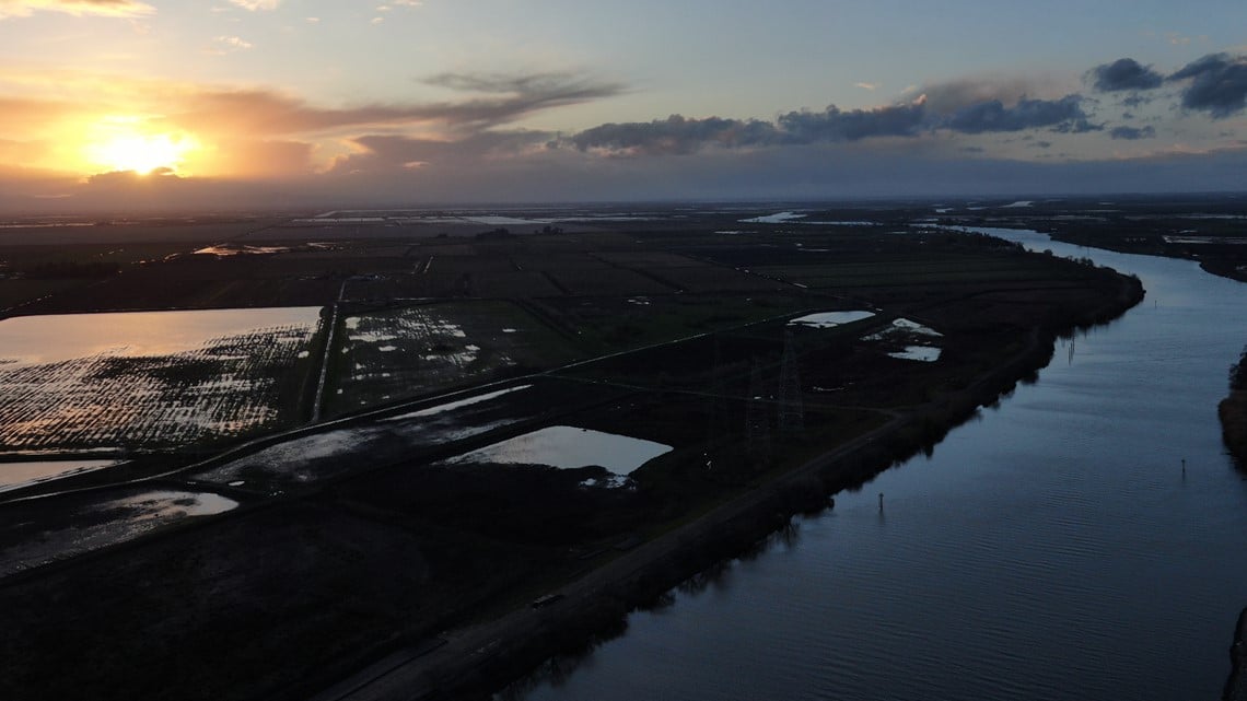
The San Joaquin River has been at or above the “danger” stage, which means it is flowing beyond the maximum capacity that the infrastructure can hold. This poses a significant risk to life and property in the event of a levee failure, according to the National Weather Service. The river has been hovering at this level since March 18, and as of midday Monday, it is predicted to slowly recede into the flood stage, dropping half a foot by April 1.
As a result, evacuation orders and warnings are still in place for communities along the San Joaquin River, including Haven Acres Mobile Home Park, Airport Ct., and Turtle Beach RV Park. These orders and warnings have affected approximately 100 residents in San Joaquin County.
The convergence of two low-pressure systems on the West coast has heightened the risk of flooding in the area, and residents are advised to remain vigilant and follow safety guidelines.