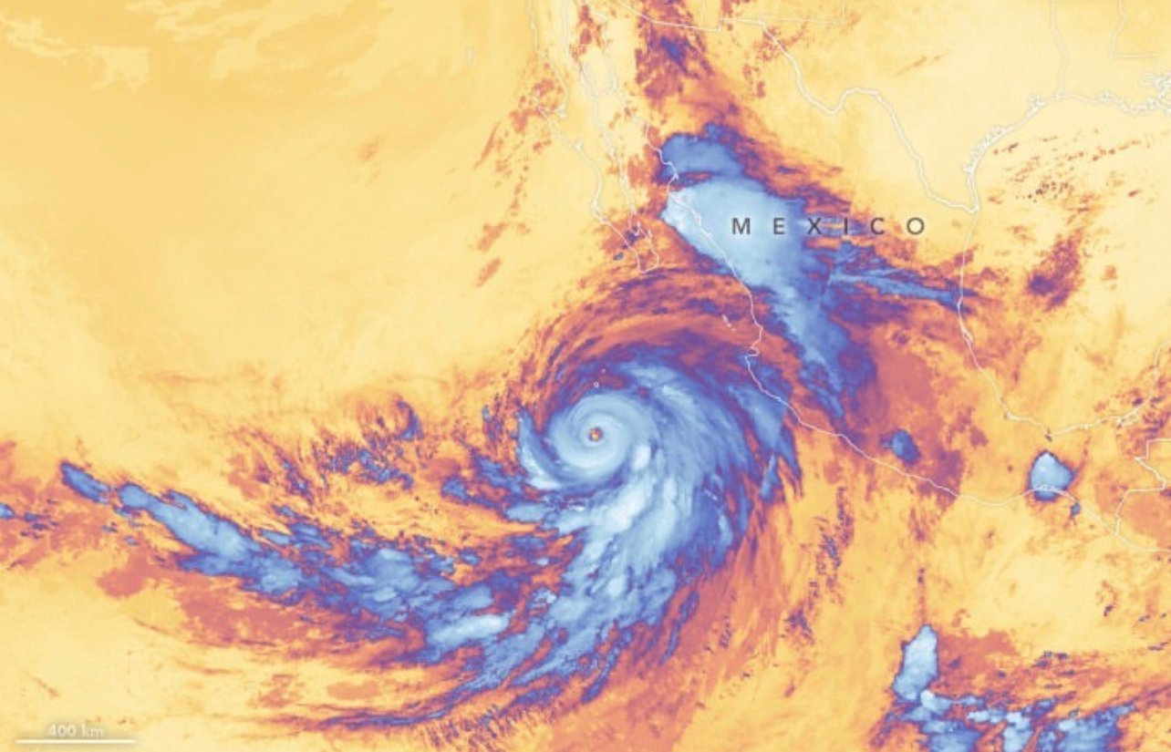
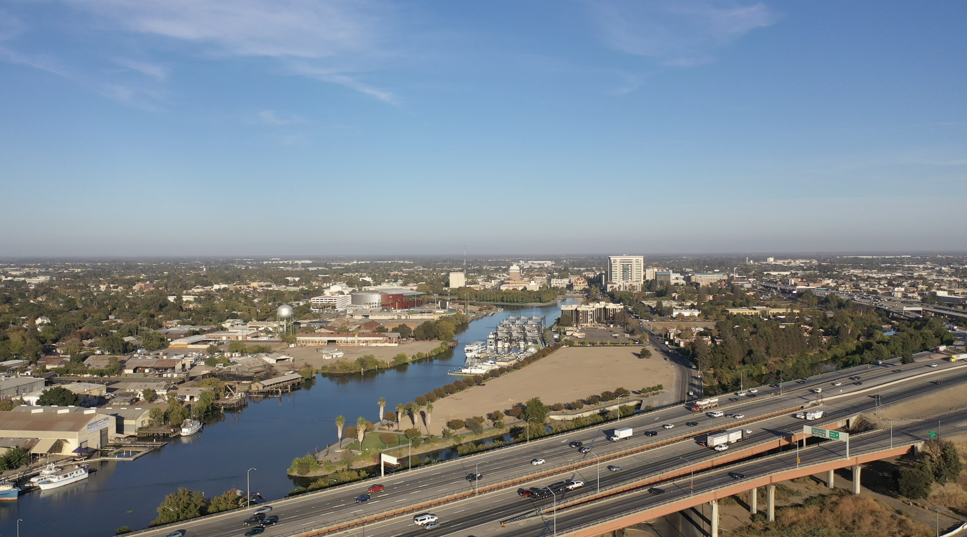
Sacramento residents experienced a sudden change in weather on Monday as the remnants of what was once Hurricane Hilary made their presence known, delivering rain and wind to Northern California.
According to David Rowe of the National Weather Service in Sacramento, most parts of the Central Valley will witness less than a quarter inch of rainfall. A noticeable exception is the Sacramento-Stockton-Modesto corridor, where thunderstorms, potential hail, and gusty winds are expected to surface in the mid-afternoon to early evening hours.
Hilary, now classified as a post-tropical storm, hit Southern California over the weekend, with its core passing through Los Angeles around 8 p.m. on Sunday. The city faced various repercussions: trees were uprooted, roads got flooded, and a whopping 8,000 LA residents found themselves in the dark. In light of the destruction, Governor Gavin Newsom declared a state of emergency across much of Southern California.
As the storm continues its journey northeast towards Nevada, it is dissipating but still influencing Northern California's weather patterns. However, this stormy respite is temporary. The Sacramento region is predicted to have partly sunny skies, with temperatures soaring to the mid-80s and wind speeds reaching up to 30 mph in certain areas. The thermometer will once again touch the 90s by Tuesday and go even higher in the subsequent days.
Rowe provided an optimistic outlook for the rest of the week. “Post-Tuesday, conditions should remain dry with temperatures going above average till Thursday. The end of the week may see a low-pressure system from the Pacific northwest, heralding the return of the Delta breeze and a dip in temperatures."
Paul Ullrich from UC Davis explained the behavior of hurricanes, emphasizing how they feed off warm sea surface temperatures. When they reach land, they start to weaken rapidly, akin to a car exhausting its fuel. The appearance of a hurricane like Hilary, he said, could be attributed to heightened ocean temperatures, possibly resulting from El Niño weather patterns and the larger framework of global ocean warming due to climate change.
Courtney Carpenter from the National Weather Service in Sacramento labeled this type of precipitation as unusual for August but termed the rain as "beneficial wetting” for the area.
Interestingly, California hasn't seen a hurricane make landfall since 1939 in Long Beach. Ullrich warned, however, that such weather events might become more frequent in the Golden State due to persistently rising temperatures, emphasizing the need for preparation and adaptability. He suggested that storms like Hilary could serve as a model to plan, adapt, and assess vulnerabilities for what the future might hold.


